


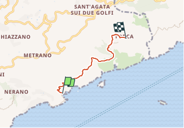

16.9 km | 31 km-effort

Tous les sentiers balisés d’Europe PRO


FREE GPS app for hiking
 SityTrail
IGN / Geographical institutes
SityTrail World
The world is yours!
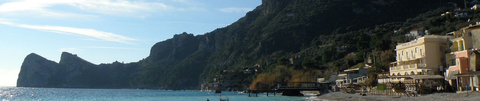
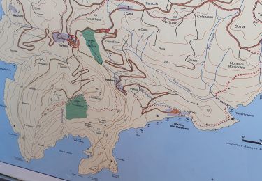
Trail On foot of 3.9 km to be discovered at Campania, Napoli, Massa Lubrense. This trail is proposed by SityTrail - itinéraires balisés pédestres.
Trail created by Club Alpino Italiano.
Symbol: 300 on white red flags


On foot

On foot

On foot
On foot
On foot

Walking

Other activity
Walking

On foot